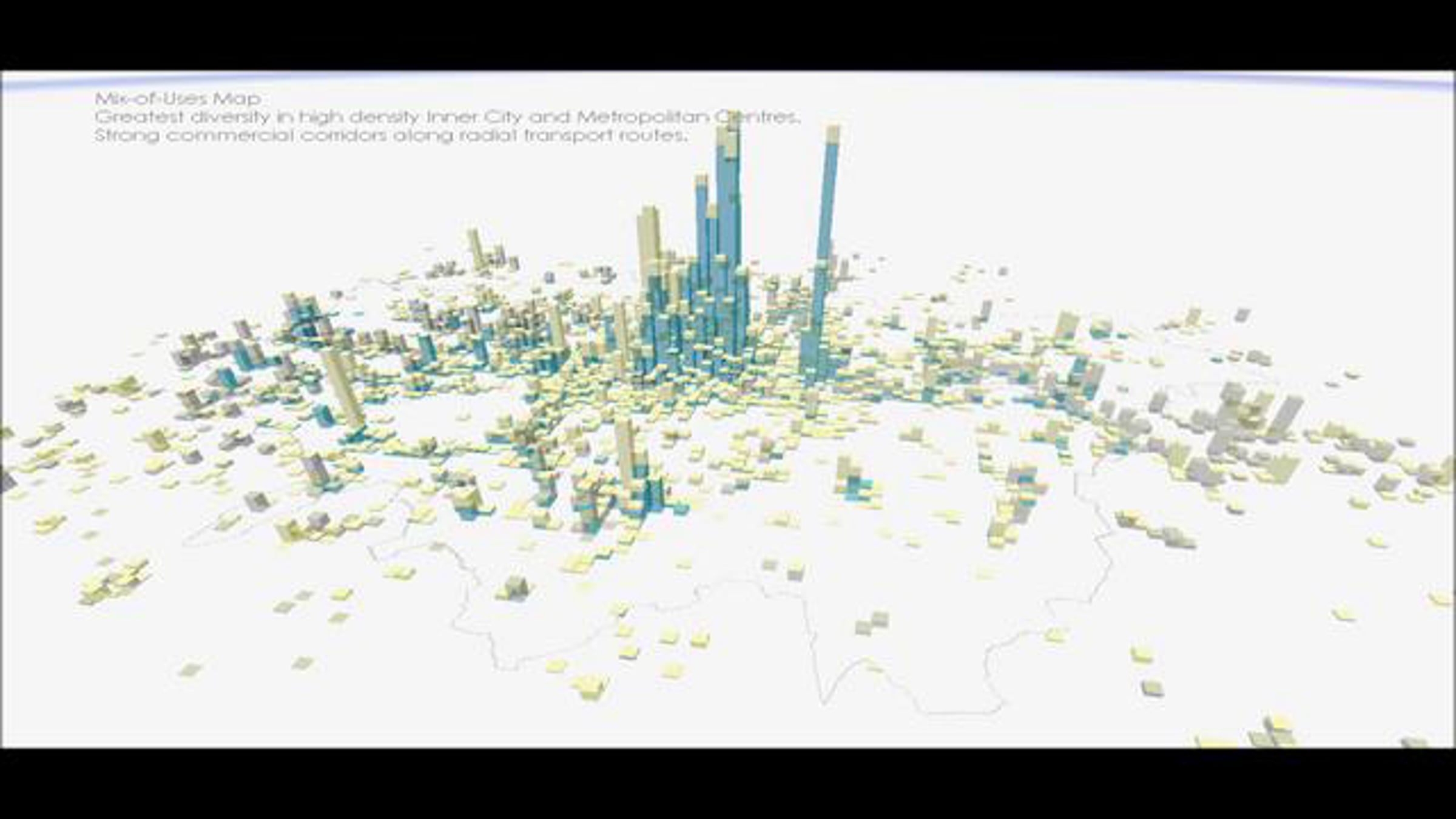
London Urban Form 3D Map

Visualisation of the density and function of the built-environment in Greater London 2010. Shows the dominance of the intensifying city-centre, corridors of commercial development and the smaller scale centres in Outer London.
This visualisation was created at CASA UCL using ArcGIS. The data comes from the Valuation Office and the Greater London Authority. For more info see:
geographics.blogs.casa.ucl.ac.uk
Comece grátis
Suporte ao cliente 24/7
Nossa equipe de suporte ao cliente está disponível para ajudar 24 horas por dia, 7 dias da semana. Quem assina o Enterprise também pode contar com uma equipe de gerentes de conta dedicada e um SLA de tempo de atividade garantido.
© 2026 Vimeo.com, Inc. Todos os direitos reservados.
TermsPrivacySuas opções de privacidadeU.S State PrivacyCopyrightCookies