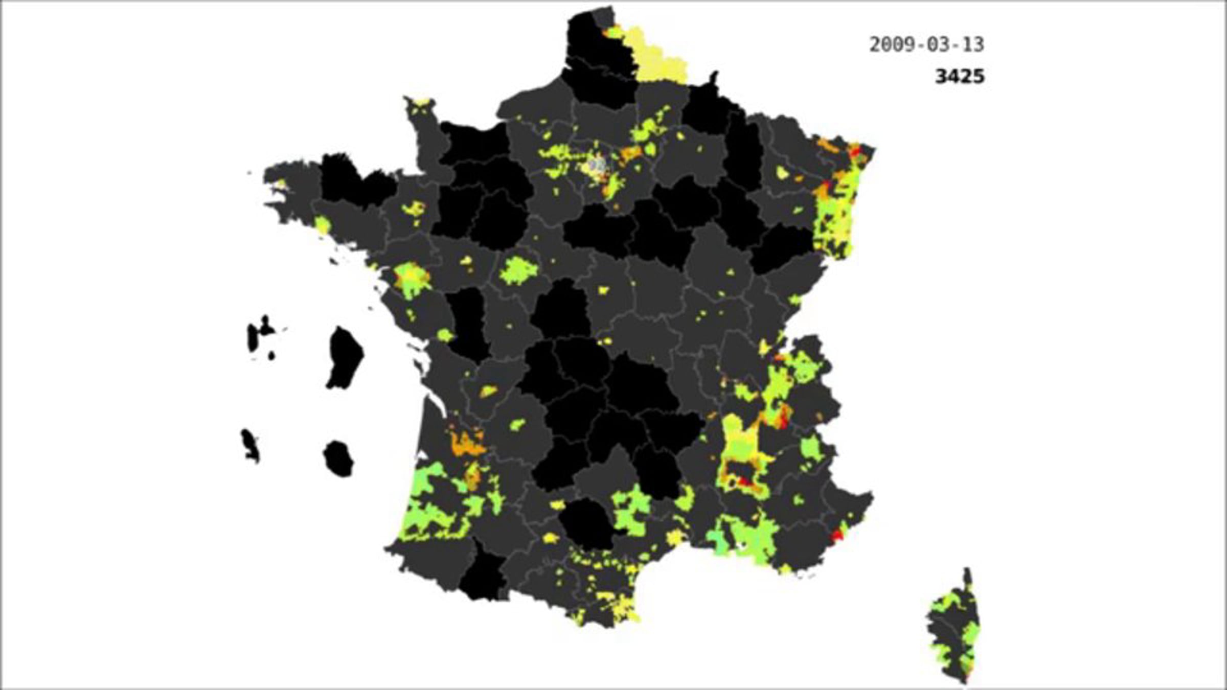
OpenStreetMap - Les limites administratives françaises (French administrative boundaries)

Chronologie de la saisie des 36000 contours des communes françaises dans OpenStreetMap (OSM), essentiellement à l'aide du Cadastre. Un chantier de plus de 5 ans pour 279 contributeurs.
Communiqué de presse : http://www.openstreetmap.fr/36680-communes
--
Chronological view of the 36000 french administrative boundaries (at commune level) during the 5 years of their integration in OpenStreetMap, mostly thanks to the French Cadastre.
Get started for free
24/7 customer support
Our customer support team is available to help 24/7. Enterprise members also receive dedicated account managers and a guaranteed uptime SLA.
© 2026 Vimeo.com, Inc. All rights reserved.
TermsPrivacyYour Privacy ChoicesU.S State PrivacyCopyrightCookies