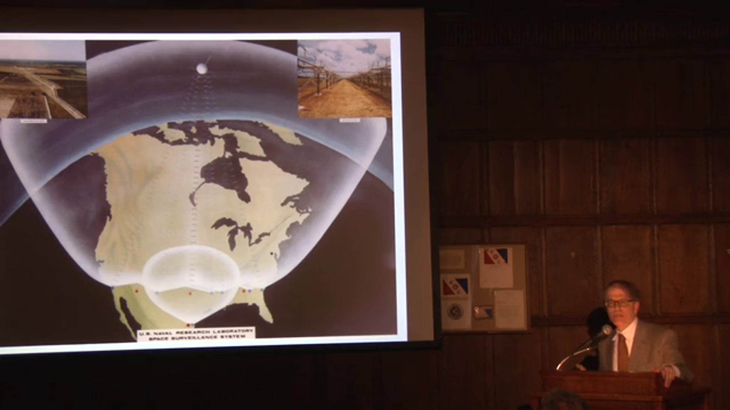
Public Lecture Series feat. Richard Easton - May 5, 2014

From Harrison to GPS – This lecture traces the development of navigation from the 18th century longitude problem to the invention of the Global Positioning System. Easton will describe the two major proposed solutions to the longitude problem: accurate clocks as developed by John Harrison and observations of celestial objects such as lunars and the Jovian moons. He will then trace the history of satellite navigation proposals culminating in GPS which combines the two 18th century proposals, putting accurate synchronized clocks in satellites which are artificial celestial objects.
Full Website Listing & Description:
http://www.explorers.org/index.php/events/detail/nyc_lecture_series_w_richard_easton
Get started for free
24/7 customer support
Our customer support team is available to help 24/7. Enterprise members also receive dedicated account managers and a guaranteed uptime SLA.
© 2026 Vimeo.com, Inc. All rights reserved.
TermsPrivacyYour Privacy ChoicesU.S State PrivacyCopyrightCookies