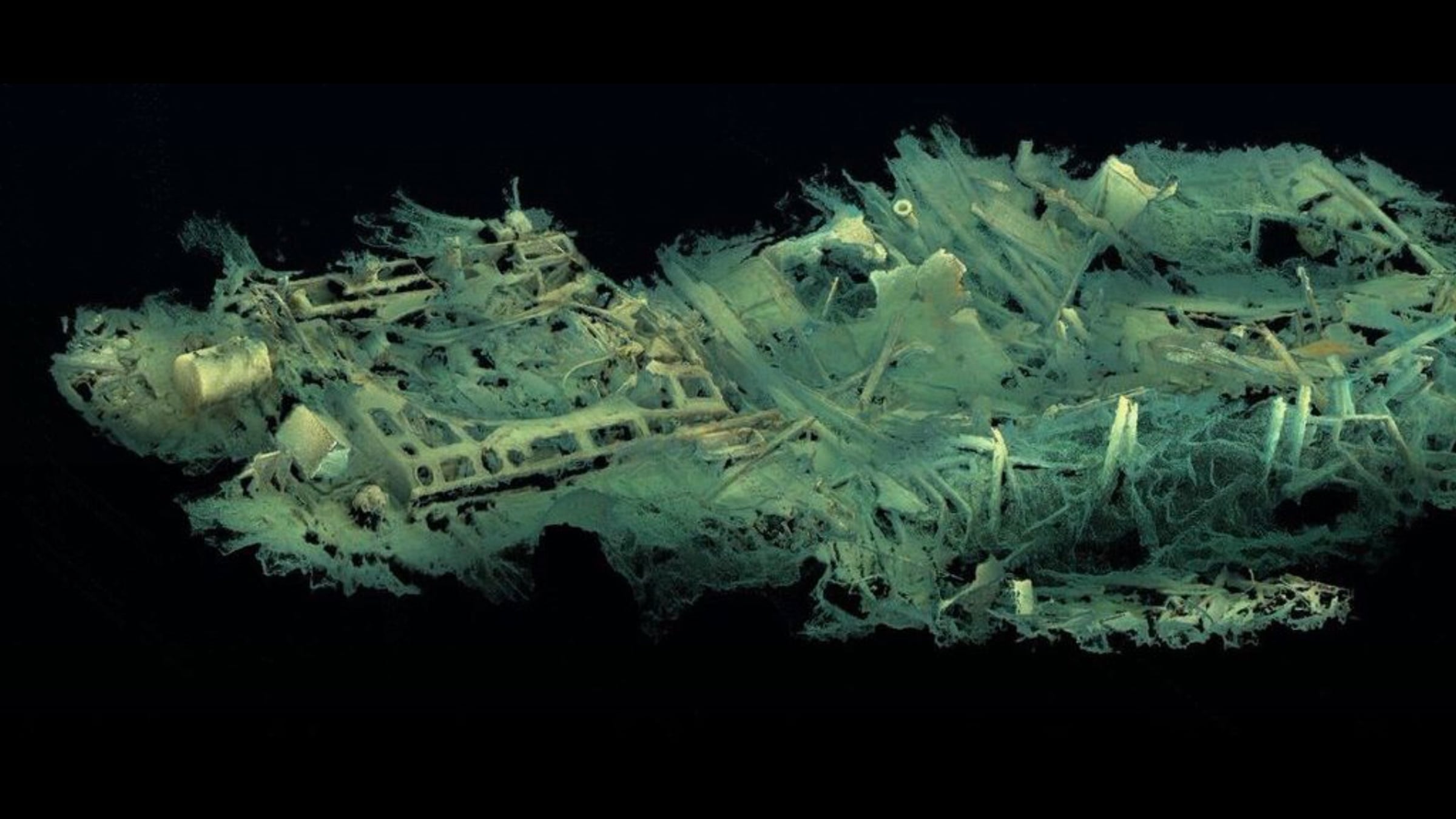
Lusitania Project 17

On 23rd February 2017, Team Project 17, were granted a license to use photographic equipment to ascertain the state of The Lusitania. This work involved using the latest in 4K Technology to map the wreck in 3D and then later the use of photogrammetry software to process the images. The original dive was in the area around The Bridge and then we worked our way to the Bow and then back past The Bridge, towards Funnel Number 1. It is our belief that this was the first time that this new technology had been used on the wreck. During a six day period from 25th Aug to 30th Aug, where only one day was lost due to weather, this small video relates to two dives on the Bow Section. We would like to thank everybody who assisted in helping to make this objective a reality.
Get started for free
24/7 customer support
Our customer support team is available to help 24/7. Enterprise members also receive dedicated account managers and a guaranteed uptime SLA.
© 2026 Vimeo.com, Inc. All rights reserved.
TermsPrivacyYour Privacy ChoicesU.S State PrivacyCopyrightCookies