Superior Seismic Imaging

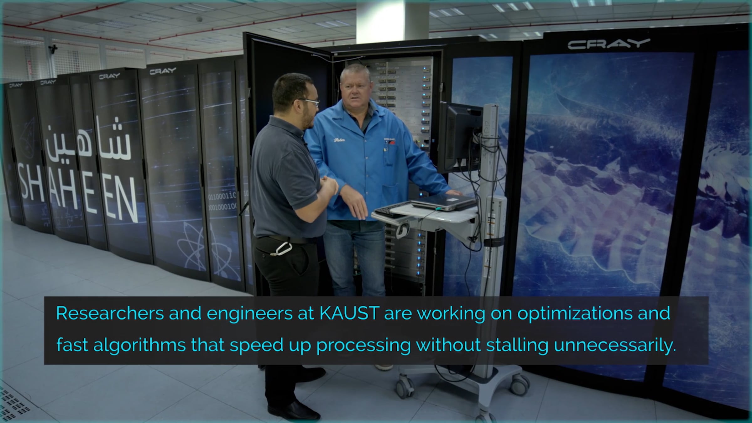
New software called GIRIH could transform underground imaging of fossil fuel reserves by providing unprecedented detail in record time. Seismic images are created by bouncing sound waves off of underground geologic structures to help identify potential areas of oil and gas. Analyzing this data to generate accurate images takes significant time and computing power. The more complex the subsurface, the more fine-grained and detailed the analysis must be. The more physical parameters that are included (related to different wave propagation properties through varying rock types), the greater the demand on computational requirements (memory and processing time). Learn more at KAUST Discovery: discovery.kaust.edu.sa/en/article/579/superior%250aseismic-imaging-for-better-drilling
Get started for free
24/7 customer support
Our customer support team is available to help 24/7. Enterprise members also receive dedicated account managers and a guaranteed uptime SLA.
© 2026 Vimeo.com, Inc. All rights reserved.
TermsPrivacyYour Privacy ChoicesU.S State PrivacyCopyrightCookies