AI and Machine Learning Part 1 of 2

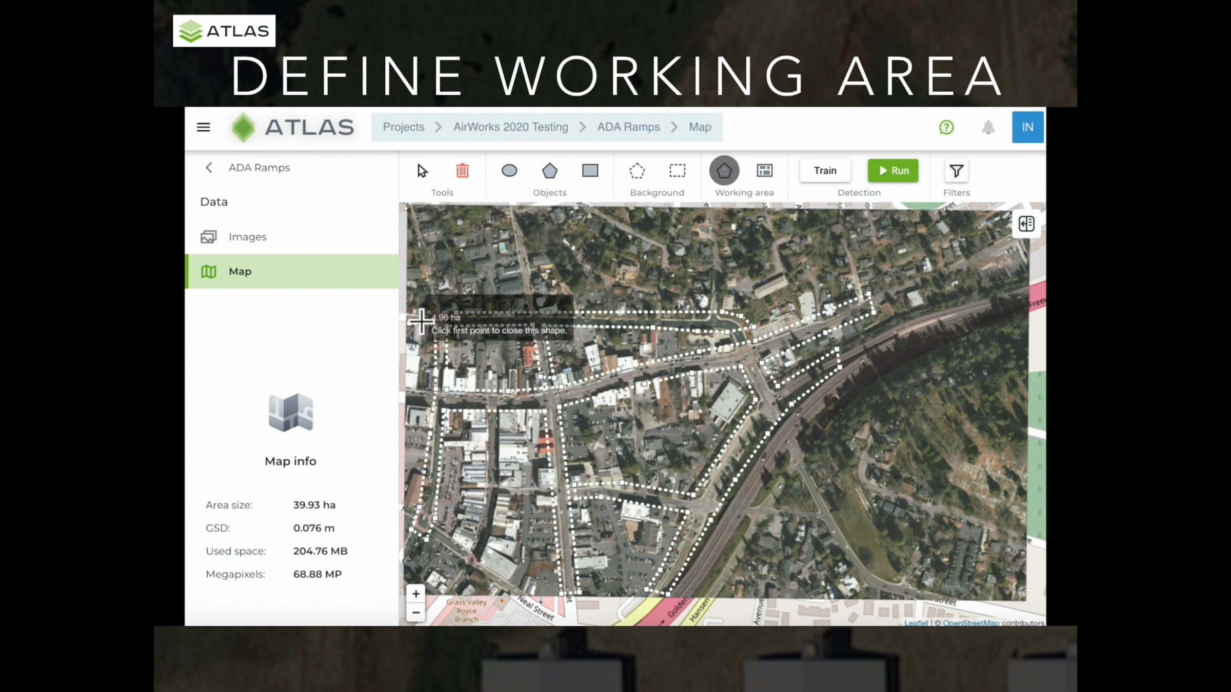
This video is Part 1 of 2 that compares the ATLAS and Picterra AI and Machine Learning cloud-based platforms and shows the work flow to train and detect ADA ramps as seen from the air in a geo-rectified Orthomosaic with a Ground Sampling Distance of 7.6 cm/pixel. Part 1 focuses on ATLAS and Part 2 focuses on Picterra.
First presented at the DJI AirWorks 2020 Virtual Conference on August 27, 2020.
Thank you to Mr. Ron Dundas, PLS at Dundas Geomatics in Grass Valley, CA and Mr. Bjorn Jones, PE and Assistant City Engineer for the City of Grass Valley for providing the Orthomosaic.
Get started for free
24/7 customer support
Our customer support team is available to help 24/7. Enterprise members also receive dedicated account managers and a guaranteed uptime SLA.
© 2026 Vimeo.com, Inc. All rights reserved.
TermsPrivacyYour Privacy ChoicesU.S State PrivacyCopyrightCookies